
(Image courtesy INDOT Northwest Facebook page)
In northwest Indiana, Region residents are being impacted by a winter storm bringing several inches of lake effect snowfall that began last night. Some thunder is also possible during the morning hours. The National Weather Service Chicago says travel conditions are dangerous with total snow accumulations of 6 to 12 inches and locally higher amounts expected. Meteorologists say snow rates in excess of two inches per hour are possible, and strong northerly wind gusts “in excess of 30 mph will lead to greatly reduced visibility, especially near the Lake Michigan shoreline.” The Winter Storm Warning also said, “A break in snow is possible this morning before snow returns this afternoon,” and “Persons should consider delaying all travel while and where the lake effect snow is ongoing, including on Interstates 80, 90, and 94.” Here is a link for updates on the forecast.
In Valparaiso, during the overnight hours, Valparaiso Police say a stretch of eastbound US 30 was closed due to unsafe conditions caused by the ongoing winter storm. Numerous vehicles slid off the roadway, police said. Eastbound U.S. Highway 30 was closed for a time from Washington Street to Sturdy Road in Valparaiso; police reported at about 4:30 am that eastbound US 30 was open again through that area.
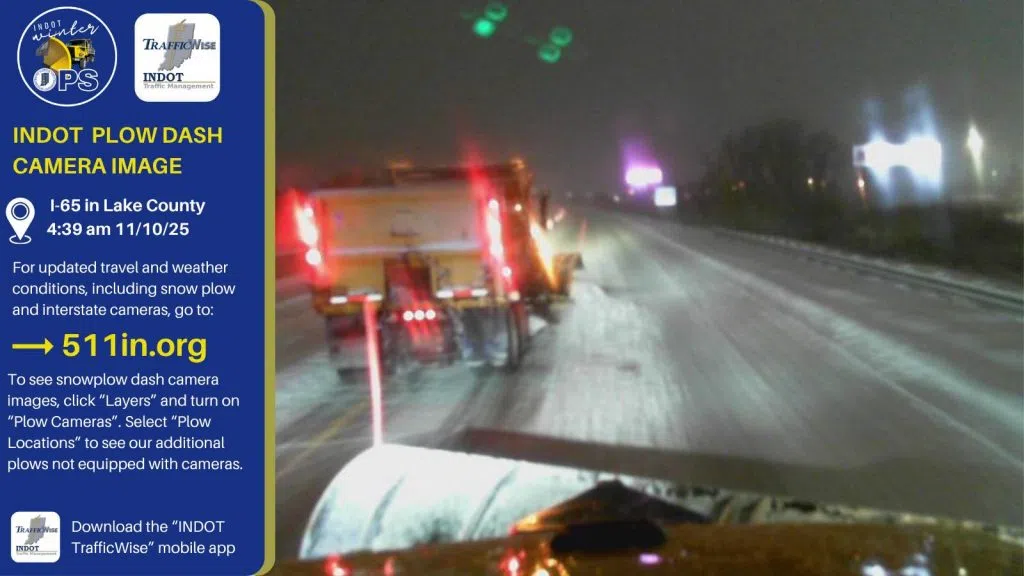
INDOT (Indiana Department of Transportation) Northwest on social media early this morning said it looks like the entire Northwest District which includes 13 counties “is waking up to some amount of snow, which is something we can’t say very often.” Everyone is asked to delay travel if possible, and if heading out on the roadways to give yourself plenty of extra time and take it slow.
At about 6:30 am, NIPSCO (Northern Indiana Public Service Company was) reporting 4,900 customers without power this morning. Here is a link to the NIPSCO website for outage updates and additional information.