
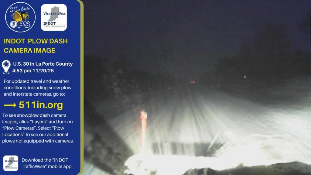
(Image courtesy Indiana Department of Transportation (INDOT) Northwest Facebook page, Saturday evening, November 29, 2025)
In northwest Indiana, the National Weather Service says the Thanksgiving weekend snowstorm brought several inches of snow to the Region, and a winter storm recap from the Chicago office noted that some measurements may be lower “than what was actually observed during the winter storm due to the compaction, melting, and blowing of snow Saturday night.” Some of the local amounts provided by the National Weather Service Chicago and Northern Indiana offices (in some instances through Saturday night with other totals through Sunday morning) include 9.8 inches near Cedar Lake, 8.4 in the St. John area, 7 inches in Hobart, 8 near Valparaiso, 10.3 inches near La Porte, 7 inches near Michigan City, 8.3 in the Wheatfield area, and 8.5 inches near Knox. Here are links for specifics and additional information and updates:
https://www.weather.gov/lot/2025_11_29_WinterStorm (National Weather Service Chicago)
https://www.weather.gov/iwx/11292025_WinterStormAndLakeEffect (National Weather Service Northern Indiana)
Chicago is coming off a historic snowy weekend. The National Weather Service says 8.4 inches of snow fell on Saturday (Nov 29 2025), the highest November day snowfall on record in the city; the previous record of eight-inches was set on November 6, 1951.
Additional snowfall is in the forecast for northwest Indiana tonight (Monday December 1 2025). The National Weather Service says the Region could see accumulations of two to four inches starting during the late afternoon and continuing overnight.